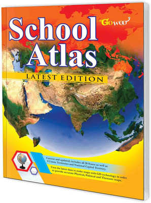
SCHOOL ATLAS LATEST EDITION (ENGLISH) - ART PAPER | Interactive School Atlas: Latest Edition With Detailed Maps And Online Resources(Paperback, GOWOO)
Quick Overview
Product Price Comparison
"The Gowoo School atlas is a masterpiece of modern cartography. Its glossy finish cover and perfect binding provide a durable and stylish design that is both elegant and functional. The atlas features high-quality art paper, ensuring that the maps are clear and easy to read, while the use of the latest data and GIS technology guarantees that the maps are up-to-date and accurate. The atlas contains a vast range of detailed and accurate regional maps of India, including all 28 states, 8 union territories, and the national capital territory. Additionally, the atlas features world heritage sites and cultural heritage sites of India, making it an excellent resource for anyone interested in learning about India's rich cultural history. The atlas also contains detailed political maps of SAARC countries, allowing readers to gain a more in-depth understanding of the region. Furthermore, the atlas provides world maps that showcase climate, soil, agriculture, and industries, making it an invaluable tool for anyone interested in global affairs. The latest flags of newly independent countries are also included in the atlas, adding a touch of detail and relevance to the product. The fully updated and easy-to-use index makes it simple to navigate through the atlas, providing a seamless experience for students, teachers, and researchers alike. In summary, the Gowoo School atlas is an exceptional product combining style and functionality to create a comprehensive and informative resource for anyone interested in geography and culture. Its high-quality art paper, use of the latest data and GIS technology, and detailed maps of India, SAARC countries, and the world make it an indispensable tool for students, educators, and researchers."


